
Synthetic Satellite Terrain: AI Deception in 2026

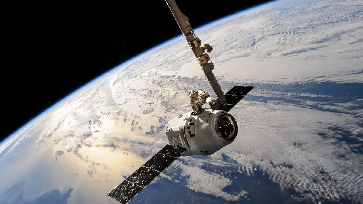
Satellite imagery has long been treated as the gold standard of geographic truth — the kind of evidence that ends arguments, confirms troop movements, and shapes international policy. Governments, journalists, and military analysts have relied on overhead imagery for decades precisely because it seemed immune to manipulation at scale. That assumption is now dangerously obsolete.
In 2026, synthetic satellite imagery AI has matured to a point where fabricated terrain data is nearly indistinguishable from real orbital captures — even to trained intelligence analysts. The technology that once required nation-state resources now runs on accessible generative models, creating a crisis of authenticity that no single agency or institution has fully solved.
Generative AI Now Fabricates Entire Geographic Landscapes From Scratch
Modern synthetic satellite imagery AI uses diffusion-based and GAN-hybrid architectures trained on petabytes of real multispectral imagery to generate photorealistic terrain at resolutions down to 30 centimeters per pixel. These systems can convincingly render military installations, coastlines, urban infrastructure, and even seasonal vegetation changes that align with historical weather patterns. The output is not a crude composite — it is a statistically coherent fabrication that mimics sensor noise, shadow angles, and atmospheric distortion with alarming precision.
Defense researchers have flagged this as a tier-1 intelligence threat, noting that fabricated imagery has already appeared in at least 3 documented geopolitical disinformation campaigns tracked in 2026. The implications extend well beyond military deception — false terrain data can corrupt autonomous navigation systems, distort humanitarian aid logistics, and manipulate infrastructure planning at a national scale. The threat landscape surrounding deepfake satellite imagery risks has expanded faster than most institutions anticipated.
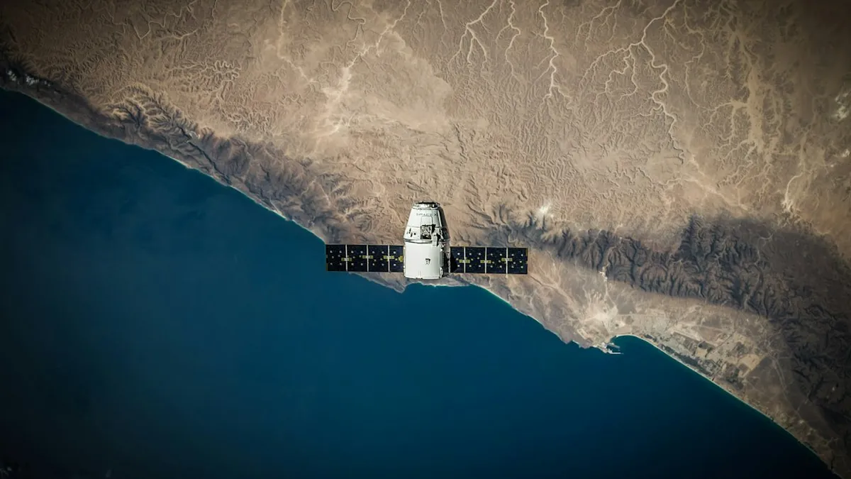
Detection Tools Exist, But the Authentication Gap Is Widening Fast
Forensic detection of AI-generated satellite imagery currently relies on spectral consistency analysis, metadata chain-of-custody verification, and cross-referencing against independent sensor feeds — but each of these methods has exploitable blind spots. Adversarial fine-tuning techniques allow synthetic imagery to pass spectral analysis with a false-positive rate below 12%, according to research circulating in classified defense circles. Analysts working with classified AI defense breakthroughs confirm that detection models are perpetually chasing generation models in an asymmetric arms race.
Regulatory frameworks are emerging but remain fragmented — the EU’s Geospatial Data Integrity Directive and the US Space Commerce Authenticity Act both propose cryptographic provenance tagging for commercial satellite imagery, yet neither covers synthetic outputs generated entirely off-platform. Intelligence agencies are pushing for mandatory watermarking embedded at the sensor firmware level, a solution that would take an estimated 4 to 7 years to implement across the existing commercial constellation. Until then, the authentication gap represents one of the most consequential unresolved vulnerabilities in modern information warfare.
Synthetic satellite imagery AI has fundamentally shifted the epistemological ground beneath geopolitics, intelligence analysis, and even civilian infrastructure planning — and the institutions tasked with managing that shift are still catching up. The technology is not inherently malicious, but its misuse potential is enormous and the window for establishing meaningful safeguards is narrowing by the month. Share your perspective on how governments and tech platforms should respond to this challenge in the comments below.