Deepfake Satellite Imagery & Military Intelligence Threats

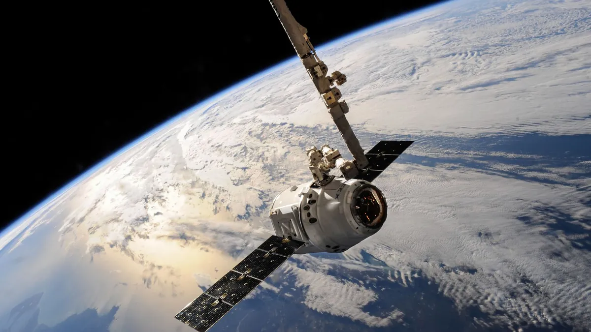
Satellite imagery has long been considered one of the most reliable tools in military intelligence, offering commanders a god’s-eye view of enemy movements, infrastructure, and strategic assets. For decades, the assumption was simple: if a satellite captured it, it was real. That foundational trust is now being systematically dismantled.
Generative AI has matured at a pace that few defense analysts predicted, and its most dangerous application isn’t a chatbot or a deepfake video — it’s a fabricated overhead image of a military base that never existed. The threat of deepfake satellite imagery in military operations is no longer theoretical; it is an active, documented vector for geopolitical deception in 2026.
Synthetic Terrain Is Now Indistinguishable From the Real Thing
Modern diffusion models can generate photorealistic satellite imagery — complete with accurate shadow angles, terrain textures, and even simulated heat signatures — in under 60 seconds. Adversarial actors can insert phantom airstrips, erase missile silos, or clone entire naval fleets into fabricated coordinates with minimal compute resources. The resulting images pass basic visual inspection by trained analysts without triggering any immediate red flags.
Intelligence communities have already flagged incidents where synthetic overhead imagery was seeded into open-source intelligence (OSINT) pipelines, contaminating shared threat assessments across allied nations. As detailed in reporting on deepfake cyber weapons, this category of AI-generated disinformation now ranks among the top 5 geopolitical destabilization tools actively tracked by NATO’s cyber division.
Detection Protocols Are Racing Against an Accelerating Threat Curve
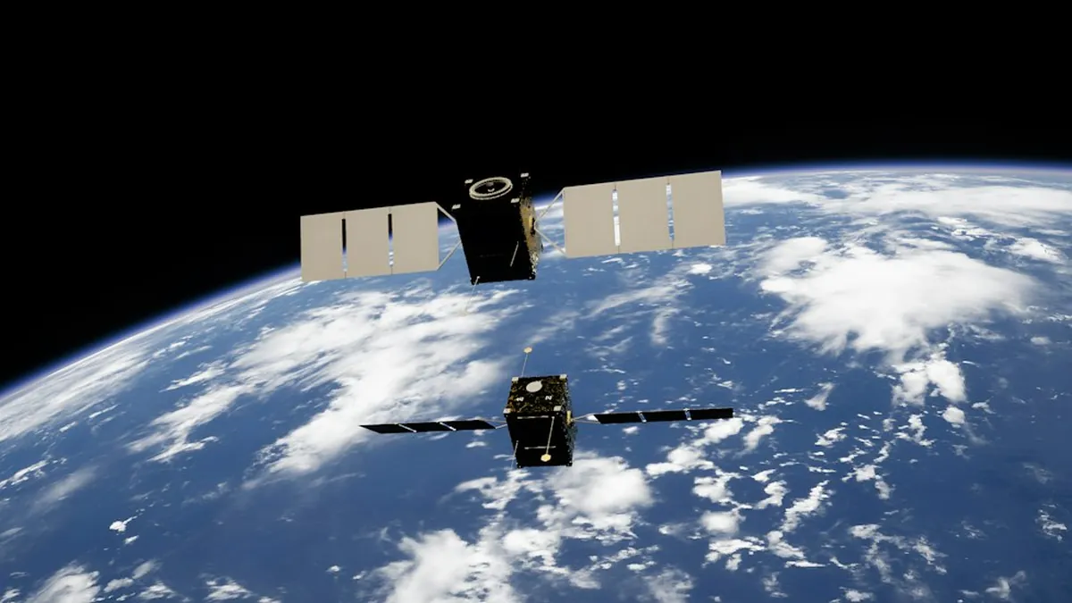
Defense agencies are deploying multi-layer verification frameworks that cross-reference satellite passes from independent orbital platforms, checking for metadata consistency, spectral anomalies, and temporal coherence across image sequences. A single image is no longer trusted in isolation — authentication now requires corroboration from at least 3 independent data sources before imagery is cleared for operational use. Even then, analysts acknowledge a verification gap that grows wider as generation models improve.
The strategic stakes extend well beyond battlefield confusion. Fabricated imagery showing troop buildups or weapons transfers can trigger escalatory diplomatic responses, sanctions, or preemptive military posturing — a dynamic explored in depth alongside military automation false alarms that demonstrate how machine-generated errors translate into real-world crisis moments. Defense planners now treat synthetic imagery as a first-strike information weapon, not a peripheral nuisance.
Emerging countermeasures include blockchain-anchored image provenance systems, AI-versus-AI adversarial detection networks, and hardware-level cryptographic signing embedded directly into reconnaissance satellite sensors. Several allied nations are piloting mandatory provenance tagging for all classified imagery by mid-2027, a timeline that critics argue is already 18 months too late. The technological arms race between generation and detection is, by most expert assessments, currently favoring the attackers.
Deepfake satellite imagery represents a fundamental challenge to how military intelligence is collected, shared, and acted upon — and the institutions built to protect that process are adapting faster than ever, but not yet fast enough. The integrity of global defense decision-making now depends on solving an AI authenticity problem that the industry itself created. Share your thoughts on how governments should respond to this threat in the comments below.