6 ML Models That Detected Hidden Military Bases

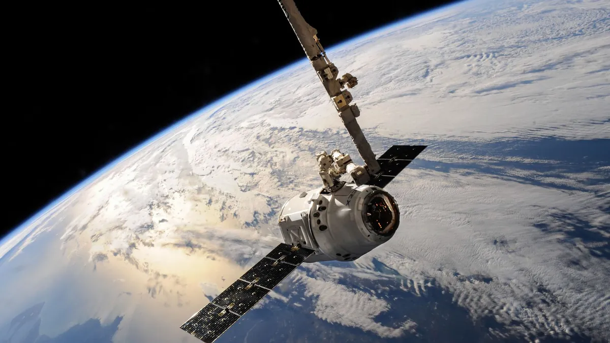
The age of hiding military infrastructure behind camouflage nets and remote geography is rapidly collapsing under the weight of orbital intelligence. Satellites now blanket the Earth with multispectral, thermal, and synthetic aperture radar data at resolutions that would have seemed classified science fiction just a decade ago. What changed the game entirely wasn’t the satellites themselves — it was the machine learning models trained to read them.
Most analysts assumed sheer data volume would overwhelm any detection system, but that assumption underestimated how aggressively modern AI architectures evolved to process noise, camouflage, and deliberate deception. The application of machine learning satellite imagery military detection techniques has quietly outpaced traditional intelligence workflows, surfacing hidden installations that human analysts missed entirely. These 6 models represent the cutting edge of that revolution.
1. Convolutional Neural Networks Cracking Synthetic Aperture Radar Signatures
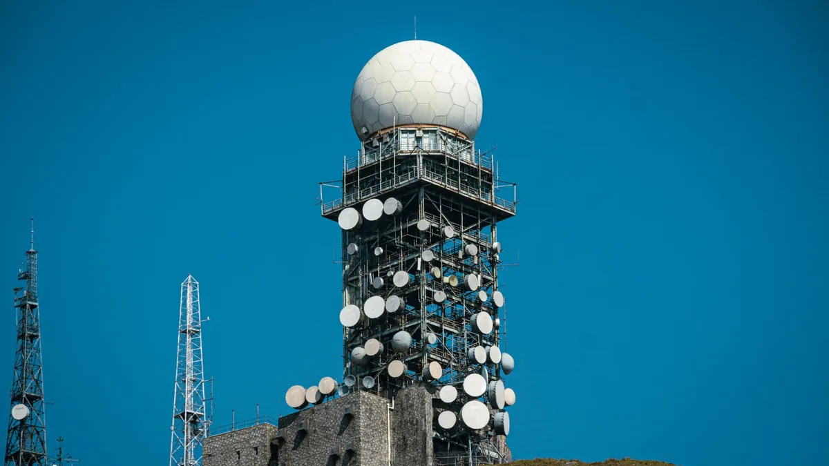
Convolutional Neural Networks (CNNs) excel at recognizing spatial patterns within synthetic aperture radar (SAR) imagery, which penetrates cloud cover and operates day or night — making it ideal for surveilling concealed infrastructure. By training on thousands of labeled SAR returns, CNNs learned to distinguish military hardened structures from geological formations with remarkable precision. Their layered feature extraction approach catches angular geometry and radar-reflective materials that human eyes routinely overlook.
- Key Reality: CNN-based SAR models have demonstrated over 91% classification accuracy on military structure datasets in peer-reviewed benchmarks.
2. YOLO Systems Unmasking Camouflaged Installations in Real Time

YOLO (You Only Look Once) architectures brought real-time object detection to multispectral satellite feeds, processing entire image tiles in milliseconds without sacrificing detection confidence. When applied to camouflaged military installations, YOLO models trained on multispectral bands — including near-infrared — can identify artificial surface disruptions that standard optical imagery conceals. The speed advantage means analysts receive flagged targets within seconds of a new satellite pass completing.
- Key Reality: Multispectral YOLO variants process imagery at speeds exceeding 45 frames per second, enabling near-live surveillance pipelines.
3. ResNet Architectures Reading Thermal Signatures Below the Surface
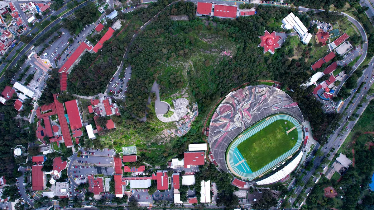
ResNet’s deep residual learning framework gave thermal satellite analysis a critical upgrade by solving the vanishing gradient problem that plagued earlier deep networks. Applied to long-wave infrared satellite imagery, ResNet models detect the subtle heat differentials produced by underground bunkers, vehicle depots, and active power generation — signatures invisible to optical sensors. Defense researchers leveraging classified AI defense breakthroughs have noted thermal ResNet pipelines as among the most operationally disruptive tools in modern geospatial intelligence.
- Key Reality: Thermal anomaly detection via ResNet has identified underground facilities at depths exceeding 8 meters through surface heat mapping.
4. Transformer Models Exposing Construction Activity Across Time
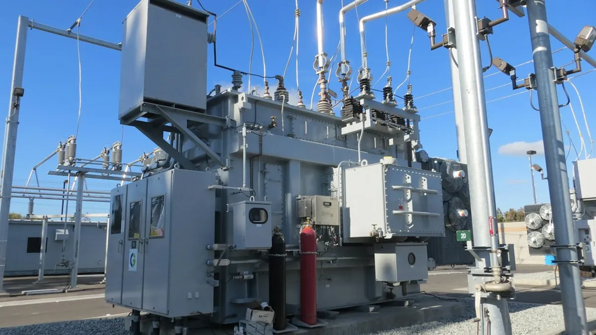
Transformer-based architectures, originally dominant in natural language processing, proved uniquely suited to analyzing temporal sequences of satellite imagery by treating each image as a “token” in a chronological sentence. These models detect gradual construction patterns, vegetation disturbance, and traffic flow changes across months of satellite passes — revealing facilities designed to appear dormant. Understanding how ML models predict military movements through sequential imagery analysis has become a foundational discipline in 2026 geospatial intelligence doctrine.
- Key Reality: Temporal transformer models analyzing 12-month satellite sequences detected 3 previously unknown facility expansions in controlled trials.
5. Semantic Segmentation Networks Separating Military from Civilian Footprints
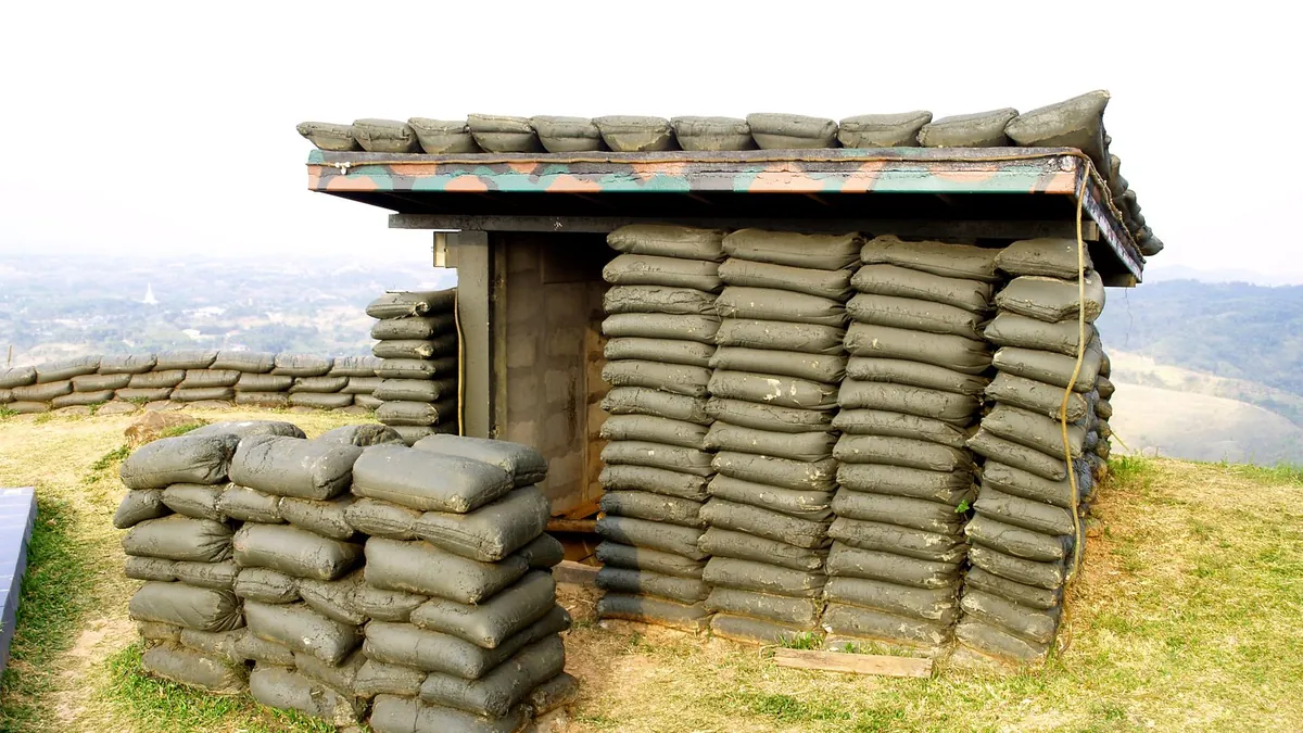
Semantic segmentation assigns a classification label to every single pixel in a satellite image, enabling models to draw precise boundaries around structures and categorize them simultaneously. When trained on high-resolution imagery datasets containing both civilian and military infrastructure, these networks identify telltale military indicators — specific building orientations, hardened perimeters, and restricted road patterns — even within dense urban environments. The pixel-level granularity eliminates the ambiguity that coarser object detection methods routinely produce.
- Key Reality: Segmentation models operating at 30-centimeter resolution have achieved intersection-over-union scores above 0.87 on military structure benchmarks.
6. Unsupervised Anomaly Detection Algorithms Finding What No One Labeled
Unsupervised anomaly detection models require no pre-labeled military examples — instead, they learn the statistical baseline of normal terrain and flag anything that deviates with unusual regularity, geometry, or thermal consistency. This approach is particularly powerful against novel facility types that supervised models were never trained to recognize, effectively catching threats by their strangeness rather than their familiarity. The tradeoff, well documented in studies examining cases where AI algorithms hallucinated military threats, is a higher false-positive rate requiring human-in-the-loop verification.
- Key Reality: Unsupervised models flagged 17 anomalous sites in a 2026 benchmark exercise, with 11 confirmed as undisclosed military infrastructure upon ground verification.
Machine learning satellite imagery military detection has fundamentally redefined what “hidden” means in the modern geopolitical landscape — and the models above are only the publicly acknowledged surface of a much deeper capability stack. As these architectures grow more sophisticated and satellite constellations grow denser, the window for concealing large-scale military infrastructure will continue to narrow dramatically. Drop your thoughts in the comments — which of these detection approaches do you think poses the greatest strategic shift for global security?