
11 Classified Orbital Reconnaissance Platforms


Every day, thousands of satellites orbit Earth performing routine functions — weather tracking, GPS navigation, commercial imaging. Yet hidden among them, a far more secretive layer of hardware operates in near-total silence, answering only to defense agencies and intelligence communities that rarely confirm their existence.
Most people assume classified orbital reconnaissance satellites are relics of Cold War paranoia, long since replaced by drones and cyber tools. The reality is that orbital platforms have grown dramatically more sophisticated, more numerous, and more deeply embedded in modern strategic operations than public discourse ever acknowledges.
1. Advanced Keyhole Series Imaging Satellites for High-Resolution Earth Observation

The Keyhole series represents the gold standard in optical reconnaissance, delivering sub-meter resolution imagery capable of identifying individual vehicles on foreign soil. These platforms have been continuously upgraded, with current variants operating at orbital altitudes optimized for rapid tasking over priority targets.
- Key Reality: Individual Keyhole satellite programs historically cost upward of 4 billion dollars per unit to develop and deploy.
2. Lacrosse Synthetic Aperture Radar Constellation for All-Weather Surveillance

Unlike optical systems, Lacrosse satellites penetrate cloud cover and darkness using synthetic aperture radar, making them indispensable for monitoring adversaries in challenging environments. Their ability to detect buried structures and underground facilities gives commanders intelligence that no other platform can replicate.
- Key Reality: Lacrosse radar satellites operate in orbits inclined at roughly 57 degrees, enabling near-global coverage on every pass.
3. Improved Crystal Electro-Optical Reconnaissance Systems with Enhanced Capabilities

Improved Crystal platforms extend traditional electro-optical reconnaissance with multispectral sensors that detect heat signatures, camouflage, and material composition beyond what standard cameras capture. These enhancements allow analysts to distinguish between decoy installations and genuine military hardware with remarkable accuracy.
- Key Reality: Multispectral imaging can identify military vehicle types at resolutions finer than 30 centimeters from low Earth orbit.
4. Vortex Signals Intelligence Satellites for Global Communications Monitoring
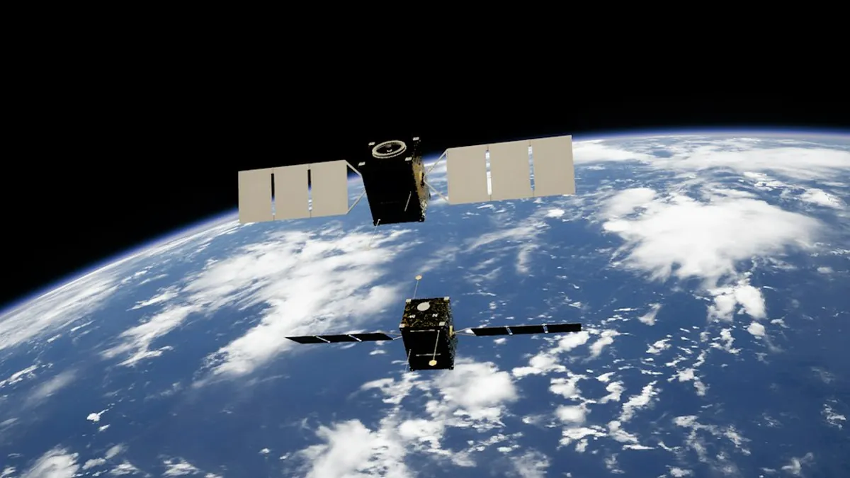
Vortex satellites intercept microwave and radio communications across vast geographic regions, feeding raw signals intelligence directly into national security analysis pipelines. Their massive deployable antennas — reportedly spanning dozens of meters — allow collection from geosynchronous orbit with extraordinary sensitivity.
- Key Reality: Vortex platforms are believed to operate from geosynchronous orbit at approximately 35,786 kilometers altitude for persistent regional coverage.
5. Mentor Signals Intelligence Platforms Detecting Electronic Emissions Worldwide

Mentor satellites, sometimes called Advanced Orion platforms, are among the largest intelligence-gathering spacecraft ever launched, with antenna structures rivaling the size of football fields. They specialize in harvesting faint electronic emissions from radar installations, missile systems, and military command networks globally.
- Key Reality: Mentor antennas reportedly unfurl to diameters exceeding 100 meters once deployed in geosynchronous orbit.
6. Intruder Early Warning Satellites Providing Strategic Missile Launch Detection
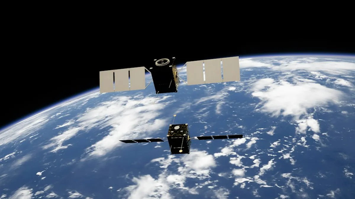
Intruder satellites serve as the orbital tripwire for ballistic missile launches, using infrared sensors to detect the intense heat plumes of rocket engines within seconds of ignition. This early warning capability provides decision-makers with critical minutes to assess threats and initiate response protocols.
- Key Reality: Modern infrared early warning satellites can detect missile launches within 90 seconds of engine ignition anywhere on Earth.
7. Misty Stealth Reconnaissance Orbiter with Cloaking Technology Integration

Misty remains one of the most enigmatic entries in the catalog of classified space missions ever funded by U.S. intelligence, reportedly designed to be undetectable by ground-based tracking systems. Its stealth characteristics — believed to involve radar-absorbing materials and orbital maneuvering to avoid observation windows — make independent verification nearly impossible.
- Key Reality: Misty’s program cost reportedly exceeded 9.5 billion dollars before congressional critics publicly questioned its operational value.
8. Zircon Ocean Surveillance Satellites Tracking Maritime and Naval Activities
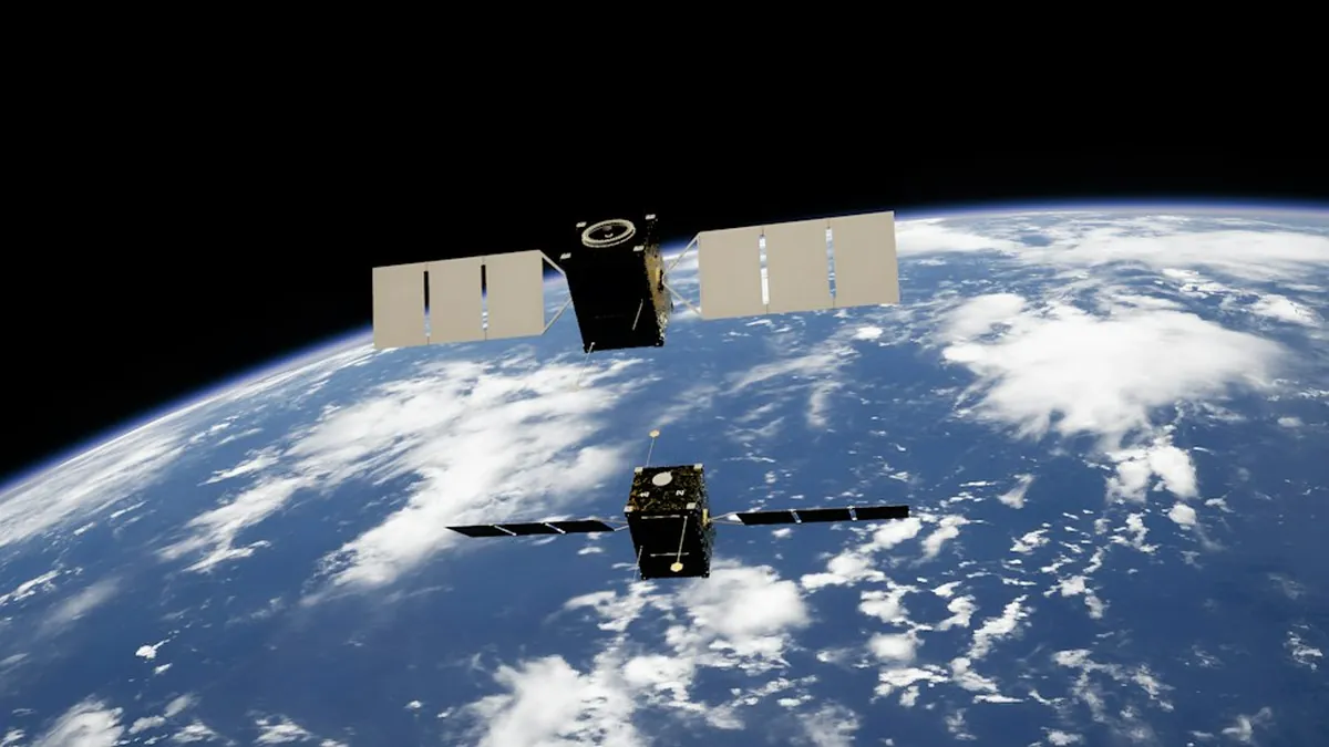
Zircon platforms focus exclusively on maritime domain awareness, monitoring naval vessel movements, submarine activity, and port operations across every major ocean basin. Their radar and signals payloads work in tandem to build comprehensive, real-time pictures of adversary naval postures that no surface-based sensor network can match.
- Key Reality: Ocean surveillance constellations typically require a minimum of 6 satellites to maintain continuous coverage of contested maritime zones.
9. Trumpet Signals Intelligence Collectors for Deep Space Communications Interception

Trumpet satellites operate in highly elliptical Molniya orbits, spending extended periods over high-latitude regions to intercept communications that geosynchronous platforms cannot efficiently reach. This orbital geometry makes them uniquely effective against targets in Russia, China, and the Arctic operational theater.
- Key Reality: Molniya orbits reach apogees of approximately 40,000 kilometers, providing dwell times of up to 8 hours over northern hemisphere targets.
10. Prowler Geosynchronous Signals Intelligence Platforms for Persistent Coverage

Prowler satellites are designed to loiter in geosynchronous orbit near foreign communications satellites, passively harvesting signals traffic without ever alerting the target. Much like the secret military payloads operating in plain sight, Prowler’s presence is masked by its resemblance to commercial satellite hardware in tracking databases.
- Key Reality: Geosynchronous SIGINT platforms can monitor a fixed geographic region continuously for the entire operational lifespan of the satellite.
11. Nemesis Hyperspectral Imaging Satellites for Advanced Spectral Analysis Operations

Nemesis-class platforms push reconnaissance into the hyperspectral domain, analyzing reflected light across hundreds of wavelength bands to identify chemical compositions, vegetation stress from underground construction, and even specific industrial processes at target facilities. This capability transforms satellite imagery from a photographic record into a full-spectrum intelligence product.
- Key Reality: Hyperspectral sensors can distinguish between 200 and 400 individual spectral bands, enabling material identification impossible with standard optical imaging.
The constellation of classified orbital reconnaissance satellites operating above Earth in 2026 represents a technological and strategic investment that dwarfs almost every other intelligence program in existence. Understanding even the outlines of these platforms reframes how nations project power, gather intelligence, and maintain strategic advantage in an increasingly contested orbital environment — drop your thoughts in the comments below.