10 Space Sensors Monitoring Carbon & Nuclear Tests

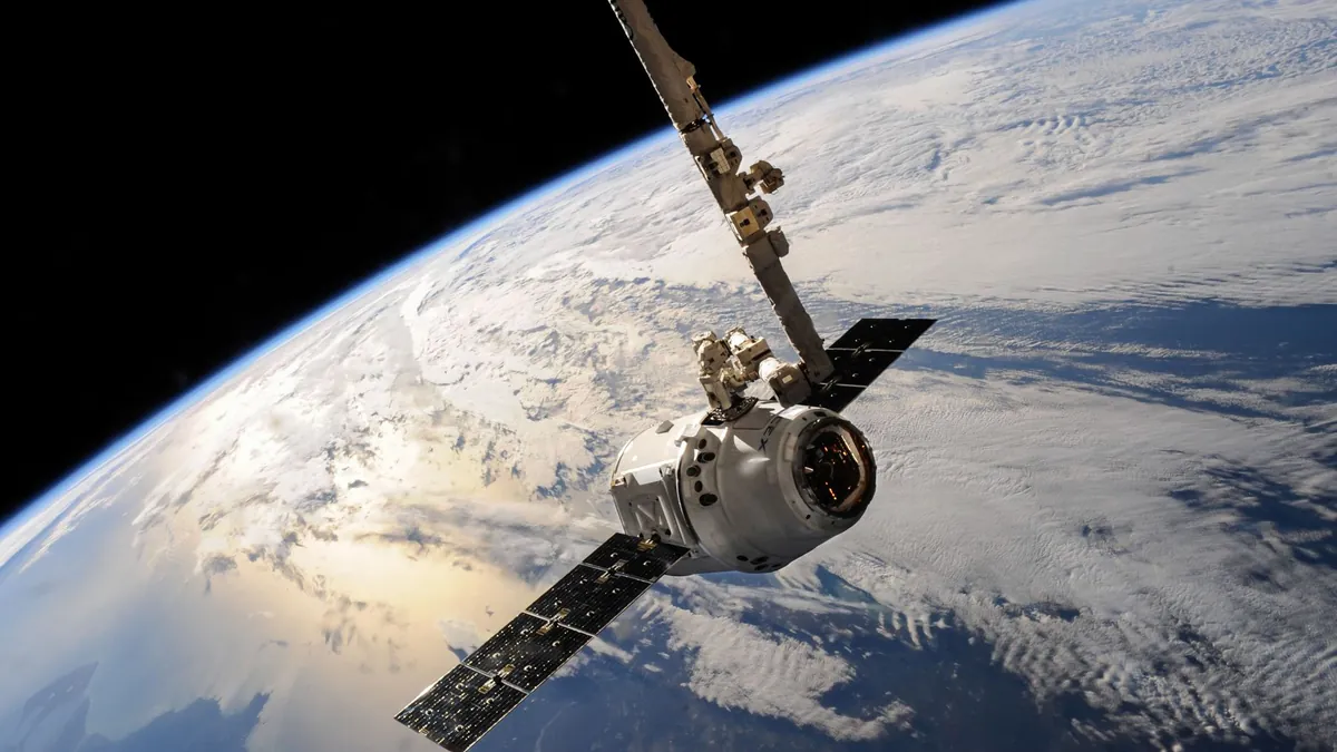
Satellites have quietly become the most consequential environmental watchdogs on the planet, orbiting hundreds of kilometers above the geopolitical noise below. What began as a scientific ambition to understand climate change has evolved into a dual-purpose surveillance network that governments and researchers are only beginning to fully reckon with.
Most people assume space-based carbon emissions monitoring is purely an environmental tool — a clean-energy talking point dressed in aerospace jargon. The reality is far more layered: the same atmospheric sensors tracking industrial CO₂ plumes are also capable of detecting the thermal and chemical signatures of nuclear detonations, making these instruments some of the most strategically valuable hardware in orbit.
1. TROPOMI Instrument on Sentinel-5P Redefines Daily Atmospheric Surveillance
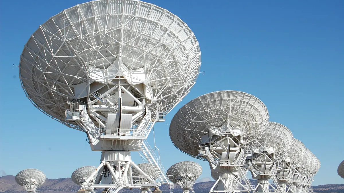
The TROPOMI instrument aboard Sentinel-5P delivers complete global coverage every single day, mapping nitrogen dioxide and carbon monoxide with a spatial resolution of 3.5 by 5.5 kilometers. It pinpoints emission hotspots from industrial corridors and transportation networks with a precision that ground-based monitoring simply cannot match.
- Key Reality: TROPOMI detects NO₂ columns as thin as 0.1 parts per billion, exposing even mid-sized industrial emitters.
2. OCO-3 on the International Space Station Hunts Carbon Hotspots From Low Orbit

Mounted directly on the ISS, OCO-3 measures atmospheric CO₂ concentrations with a spatial resolution that reveals individual city-level emission signatures and natural carbon sinks. Its unique vantage point allows targeted snapshots of specific regions, giving scientists granular data that orbital averages routinely miss.
- Key Reality: OCO-3 can resolve emission differences as small as 1 part per million across a single metropolitan area.
3. MOPITT on Terra Satellite Follows Carbon Monoxide Plumes Across Continents
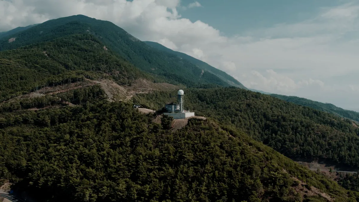
MOPITT has been tracking carbon monoxide signatures from wildfires, industrial facilities, and combustion events since its launch, building one of the longest continuous atmospheric datasets in space science. Its multi-spectral thermal infrared approach distinguishes surface-level pollution from upper-troposphere transport patterns.
- Key Reality: MOPITT data has documented transoceanic CO plume transport exceeding 10,000 kilometers from origin fires.
4. IASI Infrared Sounder Watches Methane Levels and Nuclear Thermal Signatures Simultaneously

The IASI sounder monitors methane and CO₂ across the full atmospheric column while its thermal infrared sensitivity makes it capable of detecting anomalous heat signatures consistent with underground nuclear testing events. This dual utility makes IASI one of the most strategically significant sensors currently in operation, a fact that rarely surfaces in mainstream climate discussions.
- Key Reality: IASI resolves atmospheric temperature profiles with accuracy to within 1 Kelvin across 40 vertical layers.
5. Sentinel-5 Mission Constellation Delivers Real-Time Greenhouse Gas Tracking at Scale

The Sentinel-5 constellation expands on its predecessor’s capabilities by providing continuous, multi-sensor coverage of greenhouse gases and air pollutants with enhanced temporal resolution. This architecture enables near-real-time emission tracking that regulatory agencies and treaty verification bodies are increasingly relying on for enforcement intelligence.
- Key Reality: The constellation achieves revisit times under 24 hours for any location on Earth’s surface.
6. AIRS on Aqua Satellite Reads Methane and Subsurface Detonation Signals Together
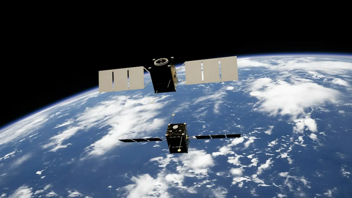
AIRS measures atmospheric methane concentrations and thermal radiation patterns across more than 2,300 spectral channels, giving it sensitivity broad enough to capture both carbon emission cycles and the pressure-wave disturbances associated with subsurface nuclear detonations. Much like the space planes and military cargo systems operating in dual-use frameworks, AIRS blurs the line between environmental science and strategic monitoring.
- Key Reality: AIRS has maintained an unbroken atmospheric methane record spanning over 2 decades of continuous operation.
7. GeoCarb Geostationary Satellite Captures Hourly Carbon Cycles Over the Americas
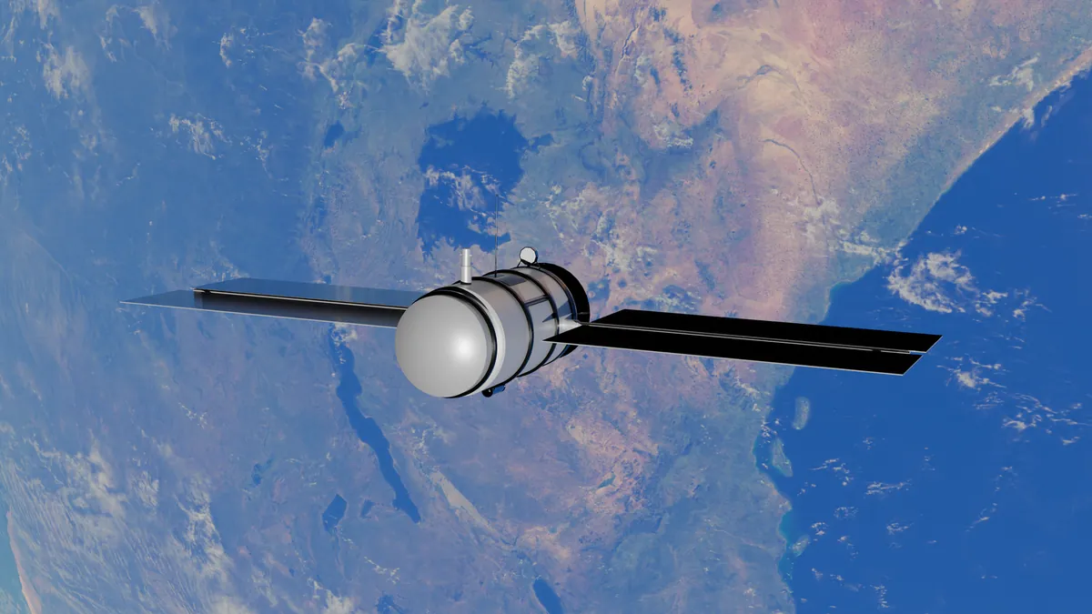
GeoCarb’s geostationary position allows it to deliver hourly measurements of CO₂, methane, and carbon monoxide over North and South America, capturing diurnal emission cycles that polar-orbiting satellites miss entirely. This temporal granularity is transforming how scientists model industrial emission behavior across different time zones and seasonal patterns.
- Key Reality: GeoCarb produces up to 24 atmospheric snapshots per day over the same geographic footprint.
8. TANSO-FTS on GOSAT Detects Greenhouse Gas Anomalies Linked to Nuclear Events

Japan’s GOSAT satellite carries the TANSO-FTS sensor, which provides high-precision greenhouse gas observations sensitive enough to flag unusual atmospheric disturbances that correlate with nuclear test events. Researchers studying space-based carbon emissions monitoring have noted that GOSAT’s spectral sensitivity creates an inadvertent but powerful secondary verification capability.
- Key Reality: TANSO-FTS achieves column CO₂ measurement precision better than 1% under clear-sky conditions.
9. Copernicus Sentinel-2 Multispectral Imager Ties Land Change to Emission Patterns

Sentinel-2’s 13-band multispectral imaging identifies land-use changes, deforestation events, and industrial expansion patterns that directly correlate with rising carbon emission signatures. Its 10-meter resolution also enables detection of surface disruptions and seismic activity consistent with underground nuclear testing, making it a quietly versatile geopolitical instrument. Similar dual-use tracking logic applies to military telescopes tracking asteroid trajectories, where scientific tools serve strategic ends.
- Key Reality: Sentinel-2 revisits any point on Earth every 5 days using its 2-satellite tandem configuration.
10. NOAA-20 VIIRS Instrument Captures Nighttime Emissions and Nuclear Atmospheric Disruptions
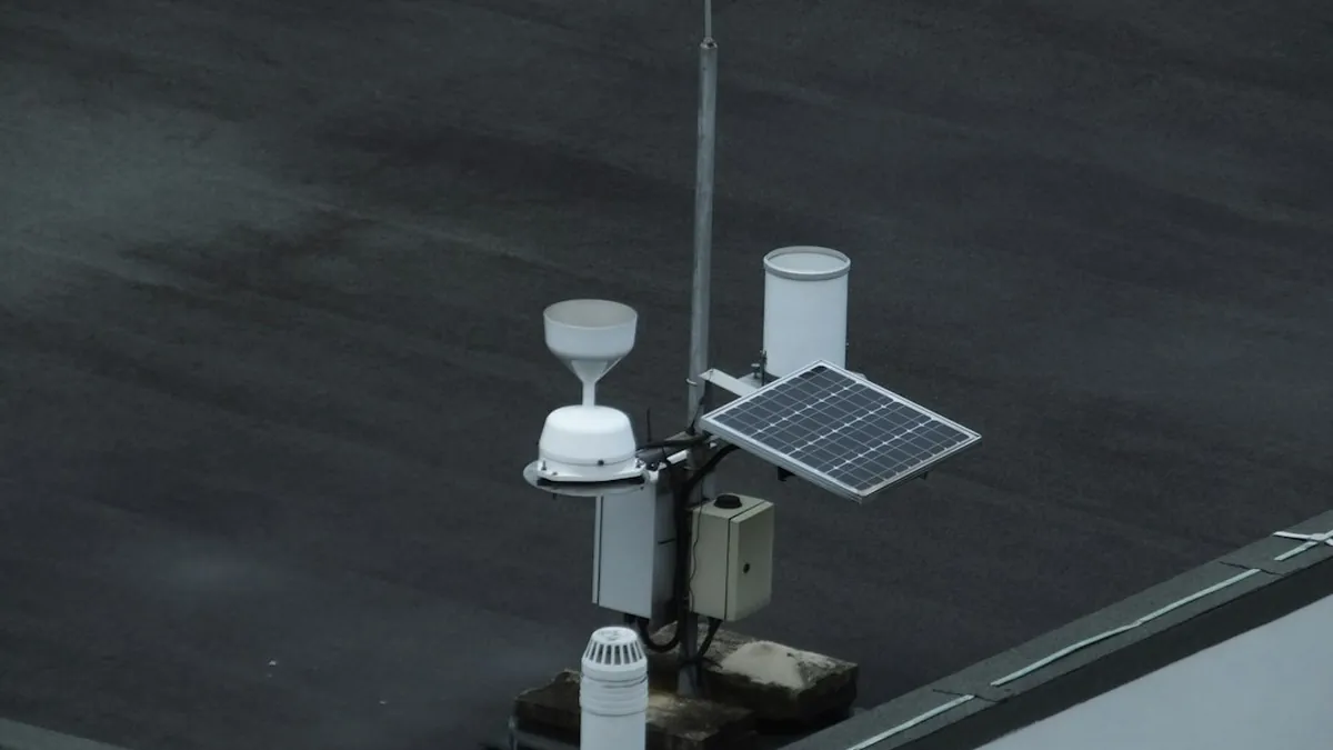
The VIIRS instrument aboard NOAA-20 uses thermal imaging to detect nighttime light emissions from industrial flaring and urban energy consumption, while its atmospheric sensitivity flags perturbations caused by both large-scale carbon sources and nuclear test shockwaves. It represents the convergence of environmental accountability and national security intelligence in a single orbital package.
- Key Reality: VIIRS detects radiant heat sources as small as 0.1 square kilometers in size from 830 kilometers above Earth.
The satellites orbiting Earth today are no longer just climate tools — they are the silent arbiters of both environmental accountability and geopolitical transparency, watching industrial emitters and nuclear actors with equal precision. Space-based carbon emissions monitoring has quietly become one of the most consequential technological developments of this decade, and the full scope of what these sensors observe is only beginning to enter public awareness. Drop your thoughts in the comments — which of these sensors surprises you most, and do you think their dual-use capabilities should be more openly discussed?