
Satellite Imagery Stops Secret Military Troop Moves

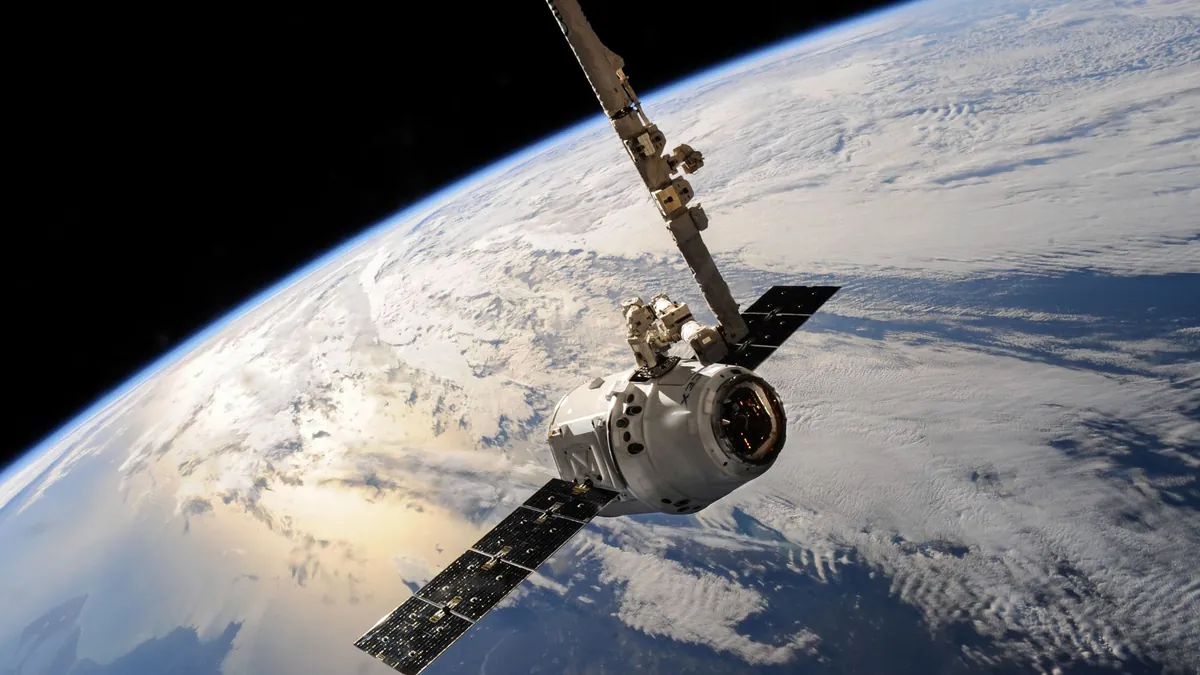
For most of modern history, troop movements happened under the cover of darkness, dense forest, or diplomatic silence — and the world simply never knew until it was too late. The assumption that armies could mobilize secretly, crossing borders or massing near conflict zones without detection, was a cornerstone of military strategy for generations. That assumption is now dangerously obsolete.
What most people don’t realize is that the same commercial satellite networks used to map hiking trails and monitor weather patterns are now powerful enough to expose armored convoys, forward operating bases, and naval buildups within hours of their formation. The line between civilian space infrastructure and military intelligence has blurred beyond recognition. Governments that once relied on secrecy as a tactical weapon are finding that orbital eyes never blink.
Real-Time Orbital Eyes Are Rewriting the Rules of Military Surprise
Modern satellite imagery military surveillance operates at resolutions sharp enough to distinguish individual vehicles, weapon systems, and even personnel formations from hundreds of kilometers above Earth. Constellations of low-Earth orbit (LEO) satellites now revisit key geographic zones every 30 to 90 minutes, eliminating the coverage gaps that once gave military planners their window of invisibility. This cadence alone has fundamentally altered the calculus of covert deployment.
Analysts working with ML-powered base detection tools have demonstrated that pattern-of-life analysis — tracking subtle changes in heat signatures, vehicle density, and construction activity — can flag a military buildup days before any official movement occurs. A single satellite pass over a staging area can reveal fuel depot expansions, temporary runway construction, or the unmistakable thermal bloom of massed armor. These aren’t classified capabilities anymore; they’re commercially available to any nation, journalist, or research institution with a subscription.
Camouflage, Deception, and the Shrinking Window for Military Concealment
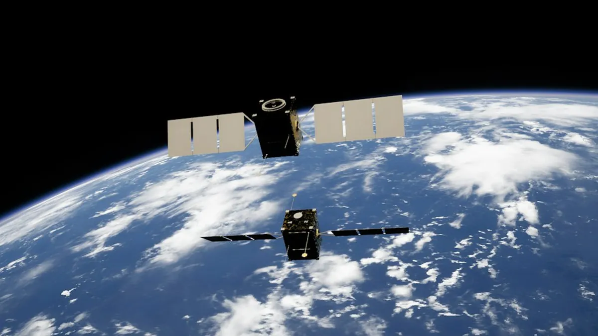
Militaries haven’t surrendered passively to orbital surveillance — they’ve adapted with increasingly sophisticated countermeasures, including thermal camouflage netting, decoy vehicle deployments, and deliberate movement during satellite pass gaps. The problem is that with constellations now numbering in the hundreds, those gaps are measured in minutes rather than hours, making sustained concealment extraordinarily difficult. Even the most disciplined operational security breaks down when a formation must move, refuel, or communicate.
Understanding which platforms are watching — and when — has become a strategic discipline in itself, and resources covering global military tracking systems illustrate just how layered and redundant modern surveillance architecture has become. Nations attempting large-scale troop movements now face a 3-front challenge: evading optical imaging, synthetic aperture radar (SAR), and signals intelligence simultaneously. Failing even 1 of those 3 is often enough to expose an entire operation.
Satellite imagery military surveillance has permanently shifted the balance between operational secrecy and strategic transparency, forcing military doctrines worldwide to evolve at an uncomfortable pace. The era of the invisible army is effectively over, and every defense ministry on Earth is grappling with what that means for the next conflict. Share your thoughts on how this orbital transparency changes global security in the comments below.