NASA’s Satelites Observe the Birth and Death of an Island in the Caspian Sea

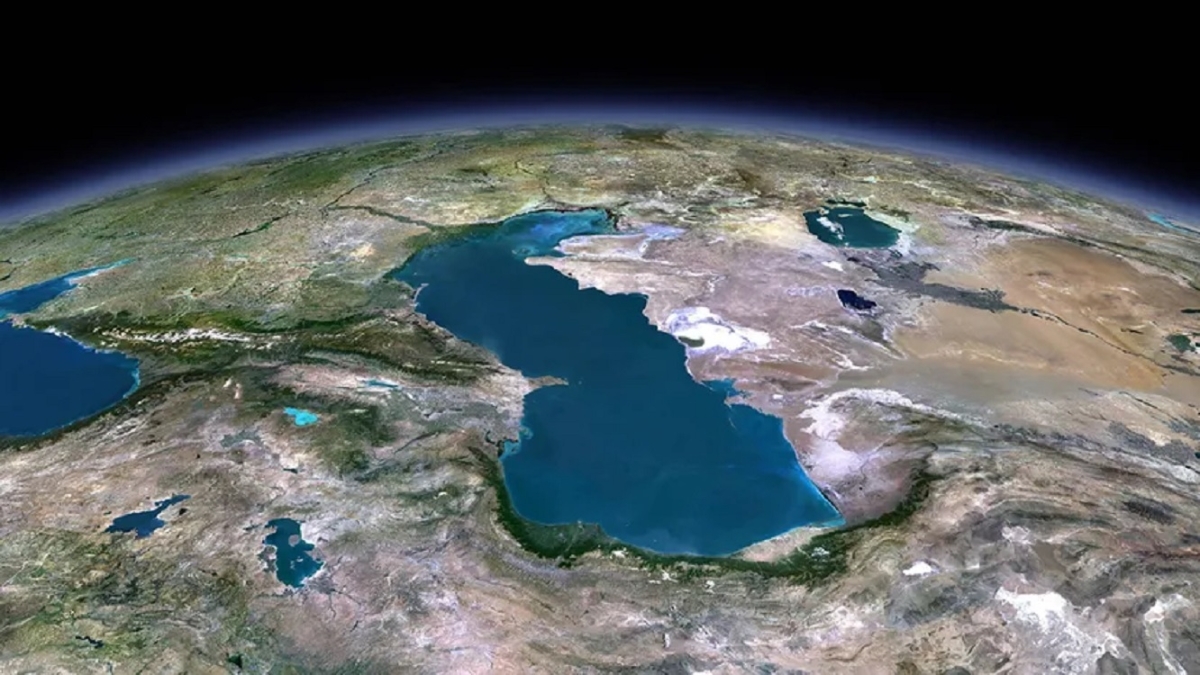
We often think of the land beneath our feet as steady and unchanging. But in reality, some parts of the Earth’s surface are constantly shifting. One of the most dramatic examples of this is the Kumani Bank mud volcano, also known as Chigil-Deniz, located about 15 miles (25 km) off Azerbaijan’s coast in the Caspian Sea.
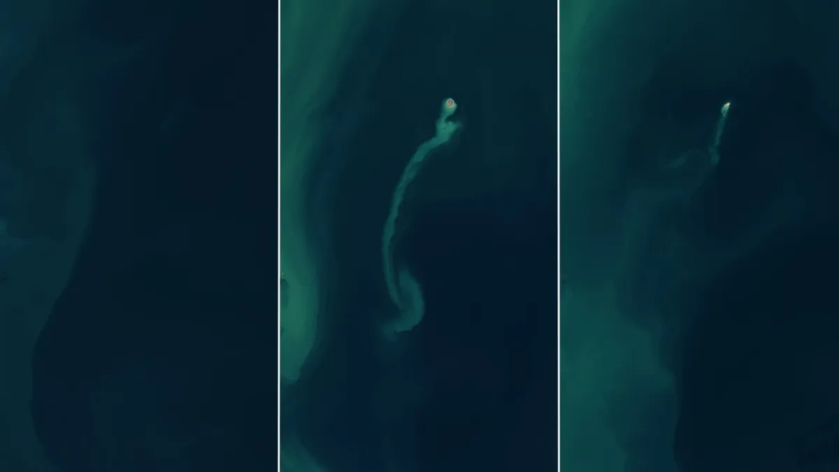
NASA’s Earth Observatory recently shared a fascinating series of images captured by the Operational Land Imager (OLI) on the Landsat 8 and 9 satellites. These pictures reveal the incredible formation and rapid erosion of a new island.
In the first image, taken in November 2022, the area is entirely underwater with no visible land. However, following an eruption in early 2023, a new island appeared. This island, formed between January 30 and February 4, 2023, stretched about 1,300 feet (400 meters) across. Its creation was marked by a long trail of sediment extending into the sea.

Fast forward to the end of 2024, and the island had all but vanished, reduced to a tiny speck in the water. The sea had swiftly eroded what once was a significant landmass, a common fate for such islands.
This isn’t the first time the Kumani Bank mud volcano has created a temporary island. According to NASA’s Earth Observatory, there have been eight recorded eruptions since May 1861. The largest island from these events appeared in 1950, measuring 2,300 feet (700 meters) wide and standing 20 feet (6 meters) tall.
Interestingly, similar structures have been observed on Mars. Researchers believe that some circular mounds in the planet’s northern lowlands might be mud volcanoes, hinting at geological processes that mirror those on Earth.
Have something to add? Let us know in the comments below!
