Exploring the New Frontier: Geodesic Research with Advanced Drone Mapping Technology
Geodesic research plays a crucial role in understanding the shape and size of the Earth, as well as in mapping and surveying various locations on our planet. In today’s world, the importance of geodesic research cannot be overstated, especially with the advancements in technology that have revolutionized how we gather and analyze geographic data.
What is geodesic research and why is it important in today’s world?
Geodesic research involves the study of the Earth’s geometric shape, gravitational field, and orientation in space. Understanding the fundamental principles of geodesic research is essential for a wide range of applications across various industries, including construction, urban planning, agriculture, and environmental monitoring.
Traditional geodesic research methods often face challenges related to accuracy and efficiency, which can be addressed with the adoption of advanced technologies like drone mapping.
How has drone mapping revolutionized geodesic research?
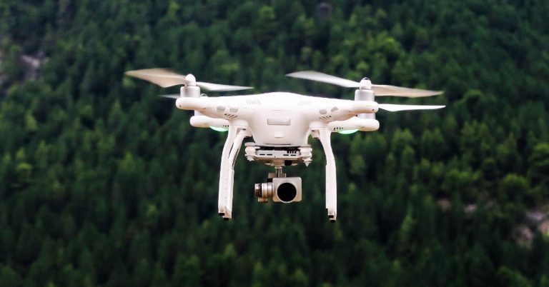
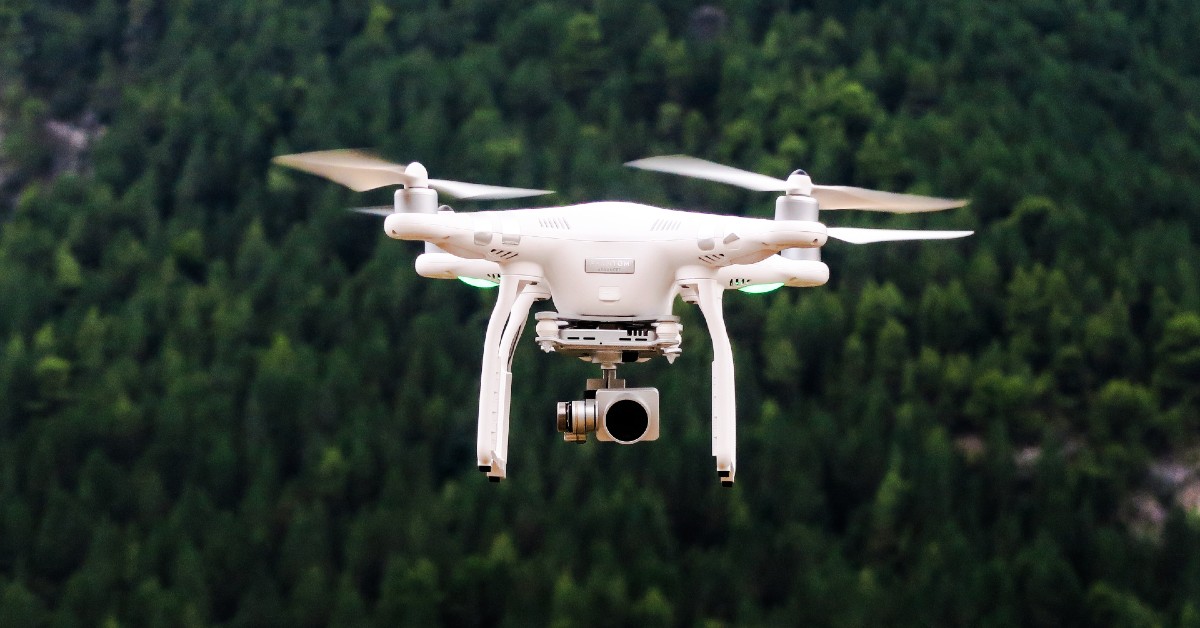
Drones have emerged as invaluable tools in modern geodesic research, offering a cost-effective and efficient way to collect high-resolution aerial data. The role of drones in geodesic research extends to mapping vast terrains, capturing detailed imagery, and conducting surveys with precision.
The advantages of using drones for mapping and surveying include rapid data acquisition, enhanced spatial coverage, and the ability to access hard-to-reach or hazardous areas. Integration of drone technology with traditional surveying methods has led to significant improvements in accuracy and efficiency.
What are the key components of a cutting-edge geodesic surveying kit?
A cutting-edge geodesic surveying kit typically includes high-precision GPS receivers, which ensure accurate positioning and georeferencing of data points. LiDAR technology is another crucial component for terrain mapping, offering detailed elevation data and 3D mapping capabilities.
Advanced software plays a key role in processing and analyzing the vast amounts of data collected during geodesic surveys, allowing researchers to generate actionable insights and create detailed maps for various applications.
How do drone mapping solutions enhance the accuracy of geodesic research?
Aerial data collection with drones offers numerous benefits for geodesic mapping, including improved spatial accuracy, reduced data collection times, and increased data resolution. By generating high-fidelity 3D models of terrain, drones enhance the precision of geodesic research and enable more comprehensive analyses.
Drone imagery not only enhances visualization capabilities but also provides researchers with a wealth of information for detailed mapping and monitoring purposes. The integration of drone mapping solutions with geodesic research workflows has transformed how geographic data is collected and analyzed.
What are the future prospects of geodesic research with drone mapping solutions?
As drone technology continues to advance, the future prospects of geodesic research look promising. Emerging trends in drone technology for geodesic research include enhanced flight automation, improved sensor capabilities, and integration with artificial intelligence for data analysis.
Potential advancements in geodesic mapping algorithms are expected to further enhance the accuracy and efficiency of data processing, leading to more precise and reliable geospatial information. The impact of drone mapping on the future of cartography and Geographic Information Systems (GIS) is likely to shape the way we perceive and interact with geographical data.